 vesseltracker.com
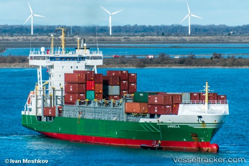
Vessel ELI A IMO: 9326976, MMSI: 636021316 Container Ship
UTC, -10.59787, -80.51945, course: -1, speed: 67
2026-02-03 22:01:08 UTC, -10.59787, -80.51945, course: -1, speed: 67
Live AIS position:
UTC. 141 nm W of Punta Lobitos),
updated 2026-02-03 22:01:08 UTC.
Find the position of the vessel ELI A on the map. The latter are known coordinates and path.
marine traffic ship tracker show on live map
The current position of vessel ELI A is -10.59787 lat / -80.51945 lng. Updated: 2026-02-03 22:01:08 UTCCurrently sailing under the flag of Liberia
ELI A built in 2005 year
Deadweight:
11403 tDetails:
Last coordinates of the vessel:
UTC, -10.59787, -80.51945, course: -1, speed: 67UTC, -10.59787, -80.51945, course: -1, speed: 67
2026-02-03 22:01:08 UTC, -10.59787, -80.51945, course: -1, speed: 67